20 Satellite Imagery Viewing Websites
In our previous article "15 Satellite Imagery Viewing Websites", we shared 15 platforms for viewing satellite imagery.
Now we have collected another 5, bringing the total to 20 websites where you can view online satellite imagery.
If you need to load more map sources in WeMap (abbreviated as "MicroMap"), please check the end of this article for instructions on obtaining the map source QR code.
MapBox Satellite Imagery
Many people know about MapBox's street and road maps, but fewer may be aware that MapBox also offers satellite imagery.
You can access the satellite imagery service via the following URL:
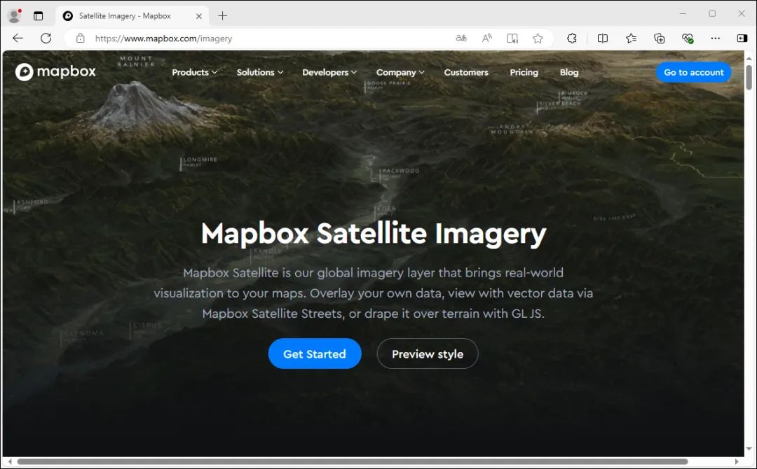
https://www.mapbox.com/imagery
This page displays relevant satellite imagery information. Click "Get Started" to edit styles, and "Preview style" to preview the online imagery.
Mapbox Satellite Imagery
Once inside, you can see that the imagery quality is quite good. The sources include the famous remote sensing imagery provider Maxar, as shown below.
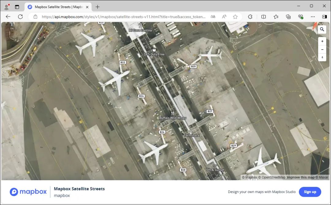
Mapbox imagery
Overall, Mapbox's coverage is broad, but the timeliness of imagery in China is relative poor.
Bing Satellite Imagery
When you think of Bing, you likely think of the Bing search engine. Microsoft's business extends beyond search, and it has been involved in mapping for many years.
As early as July 24, 2005, Bing Maps was released as a beta version under the name "MSN Virtual Earth", so you may still see Bing Maps satellite imagery referred to as "Virtual Earth" in some places.
Accessing Bing satellite imagery is simple: directly visit the following address (requires a VPN, and global mode).
https://www.bing.com/maps/?cp=30.666266~104.096146&lvl=11.0&style=h
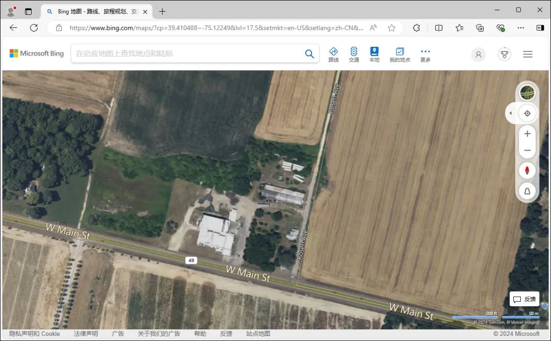
Bing satellite imagery
It is worth noting that, unlike conventional map services, the tile URL organization for Bing satellite imagery uses quadkeys instead of ZXY format.
Esri Historical Imagery
Esri's historical imagery, World Imagery Wayback, was launched relatively late, after 2010. The imagery mainly comes from commercial satellite companies, so the quality is commendable. You can access it directly via the following URL:
http://livingatlas.arcgis.com/wayback/
Hovering the mouse over the timeline on the left displays the satellite imagery effect for that time point.
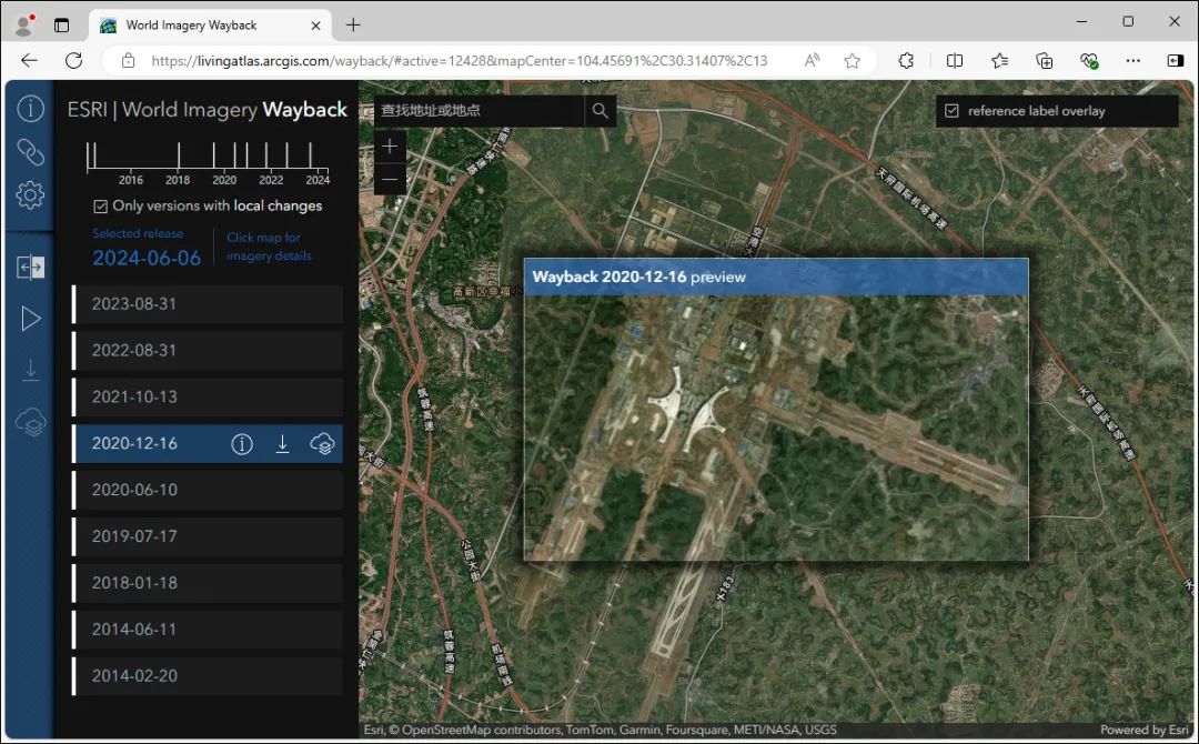
View different time imagery
This imagery will soon be available in WeMap (hereinafter referred to as "MicroMap"). Let's take a sneak peek.
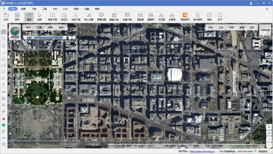
Effect in MicroMap
In MicroMap, in addition to loading the imagery, you can also select specific times for downloading.
HereMap Satellite Imagery
HERE Maps was formerly a subsidiary of Nokia. It is a multinational enterprise group headquartered in Eindhoven, Netherlands, providing electronic maps, location-based services, and navigation.
https://wego.here.com/
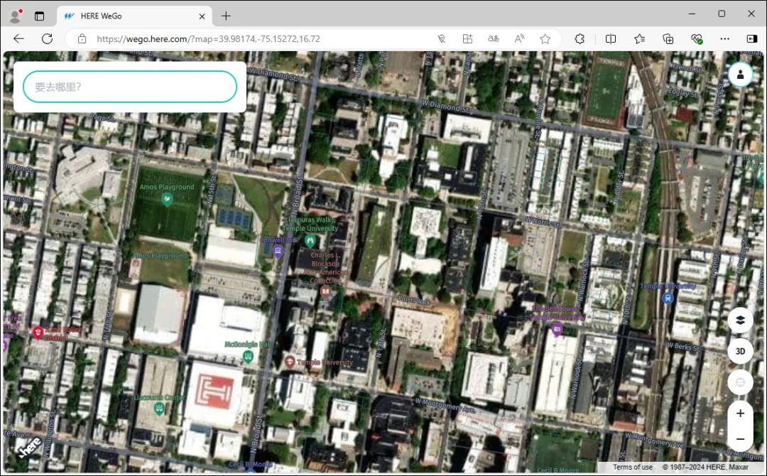
HERE imagery
As a supporting imagery map, its overall quality is decent and comparable to images from Bing and others.
Jilin-1 National Map
The Jilin-1 National Map is provided by Changguang Satellite. The national high-definition imagery has an effective coverage rate of 100%, making it easy for you to view your hometown!
https://map.wemapgis.com
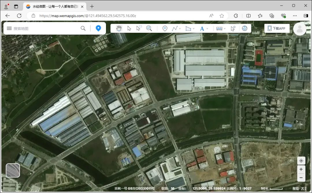
Jilin-1 imagery
You can also apply for exclusive Jilin-1 satellite imagery and load it in third-party GIS software or platforms. For specific methods, please refer to the detailed explanation in the article "How to Apply for Jilin-1 Exclusive Map Source?".
NASA WorldView
NASA WorldView is a real-time satellite map accessible online.
https://worldview.earthdata.nasa.gov/
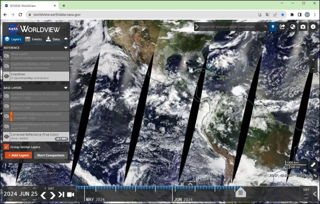
NASA WorldView
It displays satellite imagery, real-time cloud cover, and over 800 layers globally.
The platform uses calibrated reflectance (true color) data from Terra/MODIS and updates daily, usually publishing images within 60 to 125 minutes after satellite observation.
Landsat Explorer
Explore different aspects of the Earth using Landsat satellite imagery and other data.
https://livingatlas.arcgis.com/landsatexplorer/
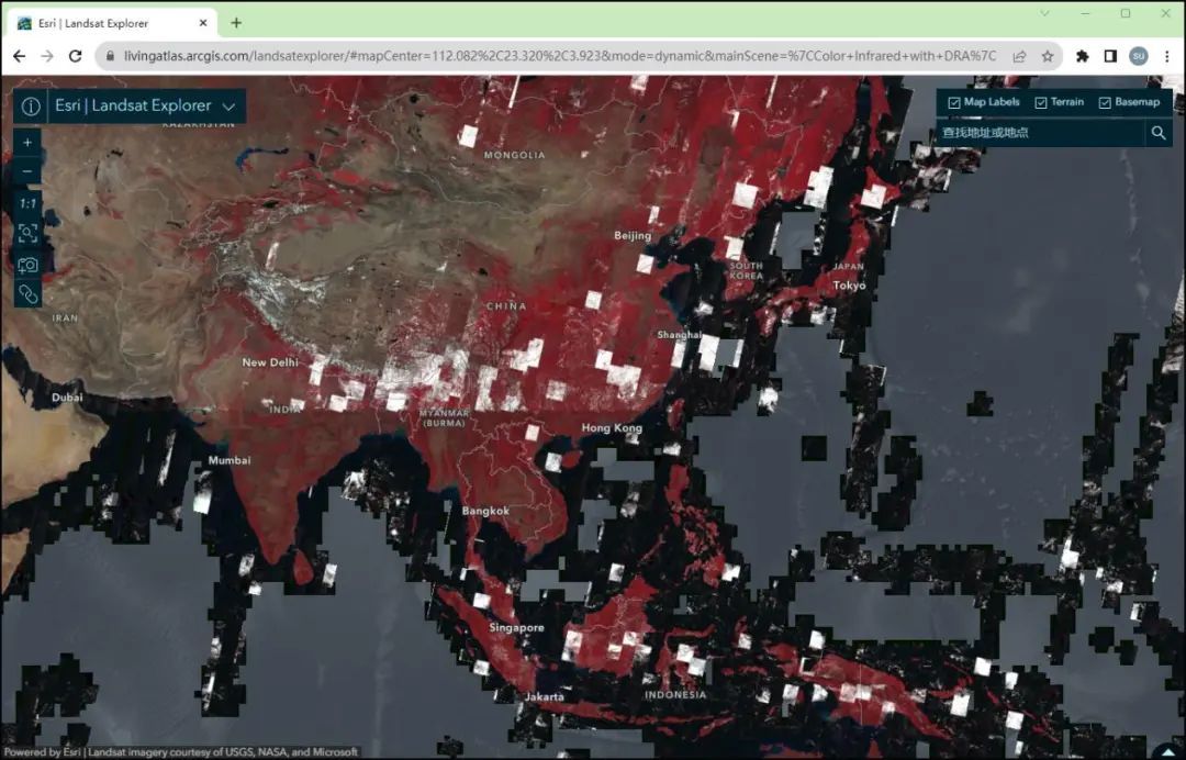
Landsat satellite imagery
You can use Landsat Explorer to view images of various regions of the Earth and learn about land use, vegetation cover, climate change, and more.
By using different image processing techniques, such as near-infrared and spectral indices, users can observe the Earth in new ways and conduct scientific research and environmental monitoring.
Sentinel Playground
Sentinel Playground is a tool that allows users to browse and analyze satellite imagery from the European Space Agency's Copernicus Sentinel satellites.
https://apps.sentinel-hub.com/sentinel-playground/
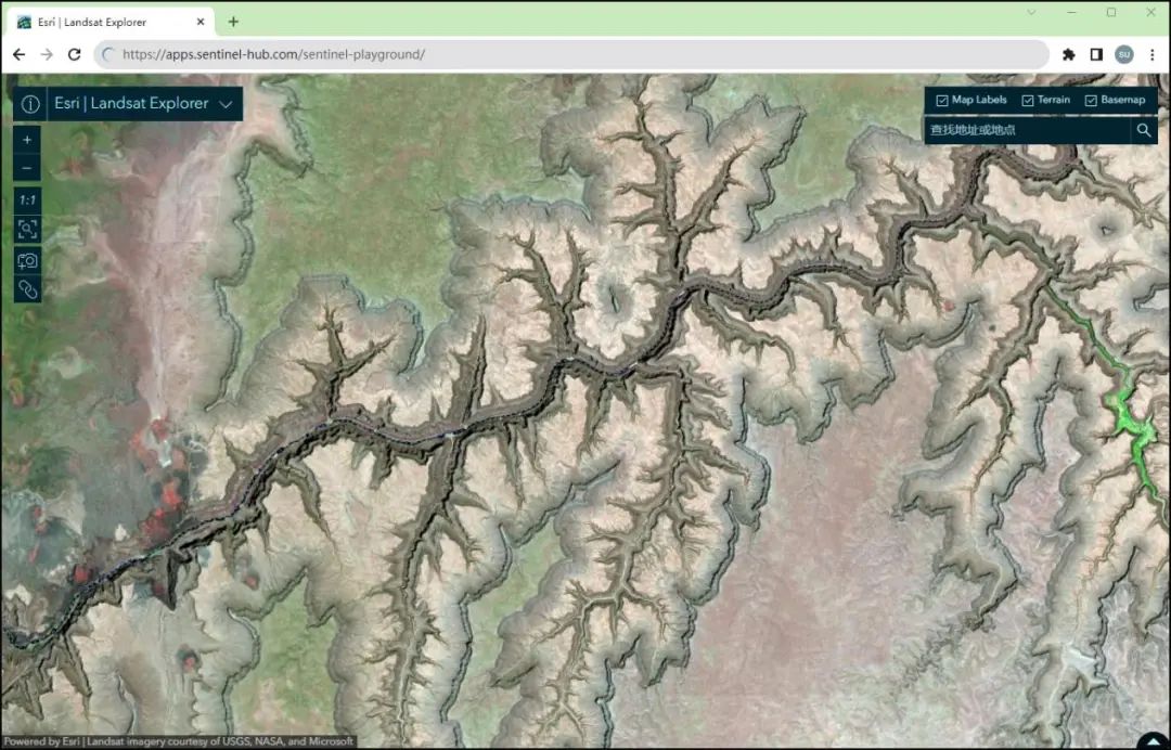
Sentinel Playground map
You can use Sentinel Playground to browse satellite imagery, including data captured by different bands and sensors, and utilize various image processing techniques to analyze features and changes on the Earth's surface.
The platform also provides GIS-based functions, allowing users to draw, measure, and compare geographic information on the images.
USGS Earth Explorer
USGS Earth Explorer is an online data retrieval tool provided by the United States Geological Survey (USGS) for accessing Earth observation and geographic information data.
https://earthexplorer.usgs.gov/
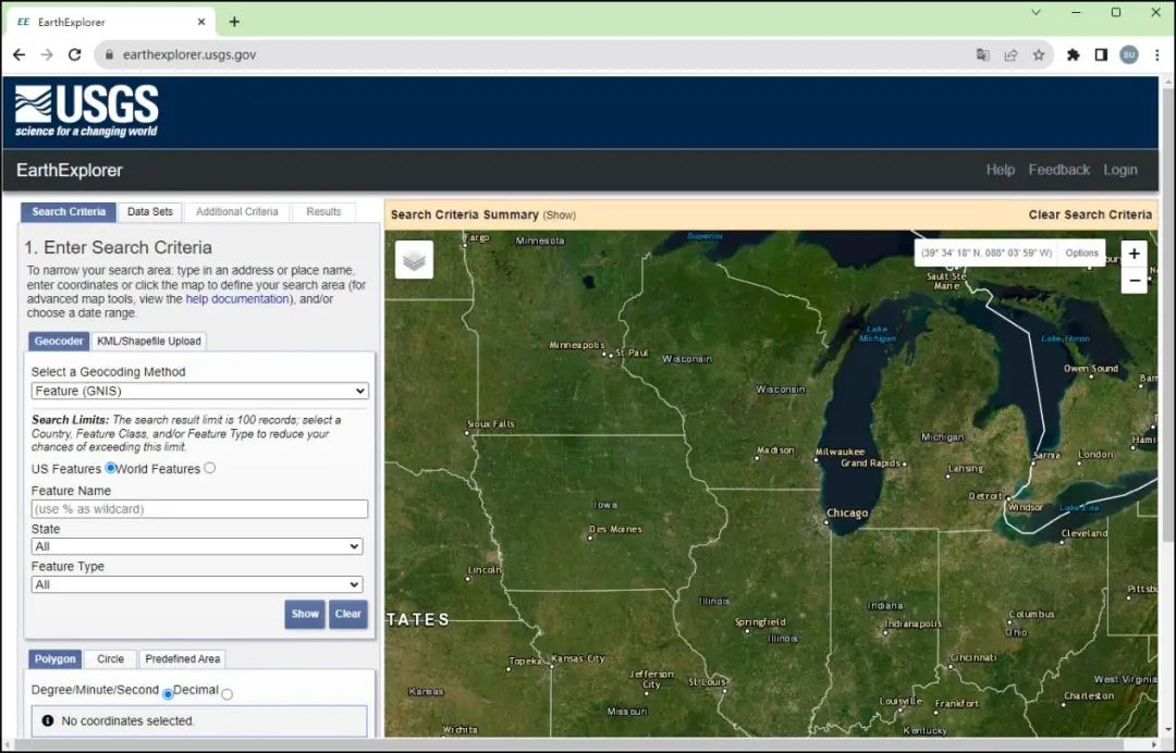
USGS Earth Explorer
Through USGS Earth Explorer, you can access satellite imagery, terrain data, climate data, and more from multiple remote sensing data sources such as Landsat, MODIS, and Sentinel.
You can search and download data based on specific geographic areas, time ranges, and data types to support research and analysis in various application fields.
Cesium
Cesium is an open-source browser-based 3D Earth display library that enables high-performance, highly customizable virtual Earth applications.
https://cesium.com/cesiumjs/cesium-viewer/
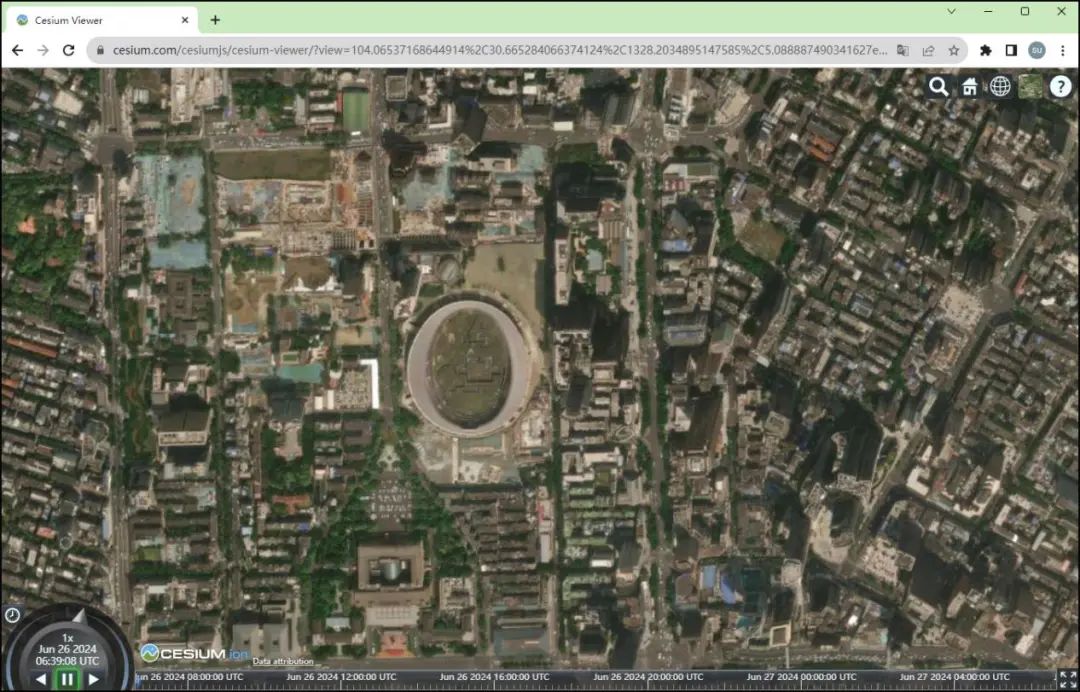
Cesium map
Cesium uses WebGL technology, providing powerful Earth visualization capabilities, including displaying satellite imagery, terrain data, 3D models, and more.
Developers can use Cesium to build interactive map applications, virtual tourism platforms, Earth science applications, and more.
Cesium also supports integration with other geospatial data and services, such as GIS, imagery services, and real-time location data.
Its flexibility and performance make Cesium an ideal choice for developers to create complex Earth visualization applications.
GOES Viewer
GOES Viewer is a tool for viewing and analyzing data from NOAA's Geostationary Operational Environmental Satellites (GOES).
https://www.star.nesdis.noaa.gov/GOES/index.php
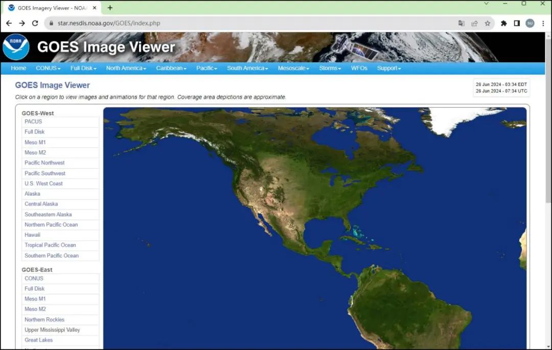
GOES Viewer map
GOES Viewer can display satellite images and data captured by satellite sensors, including cloud images, meteorological information, weather event monitoring, and more.
Night View
This is a nighttime thematic map under NASA WorldView, created by stitching together over 400 space images to produce the most comprehensive nighttime view.
https://worldview.earthdata.nasa.gov/?p=geographic&l=VIIRS_SNPP_CorrectedReflectance_TrueColor(hidden),MODIS_Aqua_CorrectedReflectance_TrueColor(hidden),MODIS_Terra_CorrectedReflectance_TrueColor(hidden),VIIRS_Black_Marble,Reference_Labels(hidden),Reference_Features(hidden),Coastlines(hidden),VIIRS_SNPP_DayNightBand_ENCC(hidden),VIIRS_Night_Lights(hidden)&t=2016-12-25-T00%3A00%3A00Z&z=3&v=-221.5561047968682,-90.40414693813291,162.6313952031318,89.03335306186709
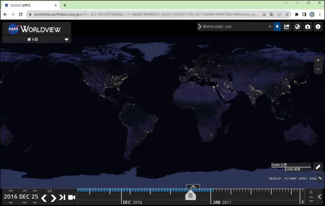
Night view map
From this nighttime map, it is evident that large cities illuminate the sky the most. Overall, it provides an estimate of human habitation across the land.
Global Forest Map
The Global Forest Map is a data product or online platform that provides global forest resource information.
https://www.globalforestwatch.org/map
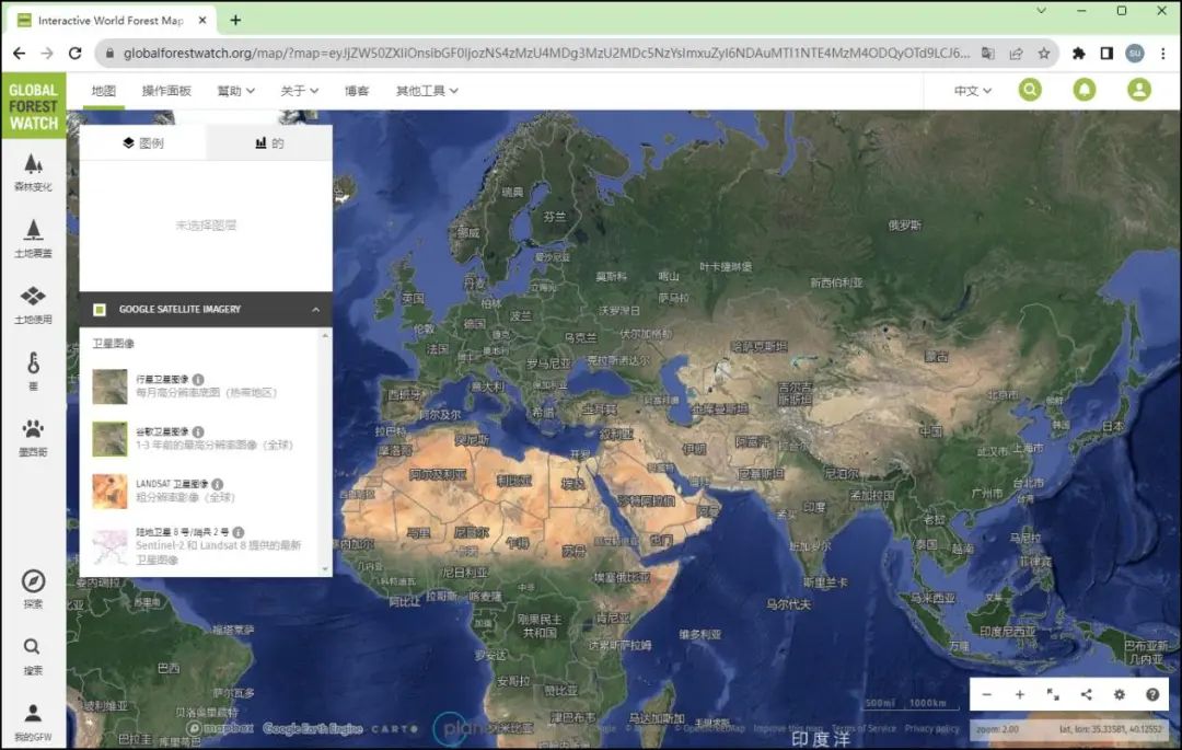
Global Forest Map
These maps are typically based on remote sensing data, satellite imagery, and machine learning algorithms to identify, monitor, and assess information such as global forest area, type, changes, and health.
The Global Forest Map is significant for environmental protection, forest management, climate change research, and other fields, helping governments, organizations, and researchers better understand and protect forest resources on Earth.
Leaflet
Leaflet is a very powerful and flexible JavaScript map library that includes multiple free tile providers, such as Esri, Geoportal France, and CartoDB.
https://leaflet-extras.github.io/leaflet-providers/preview/
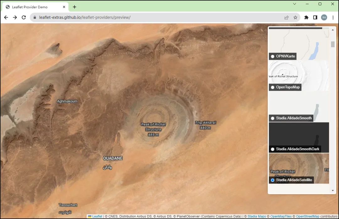
Leaflet map
Leaflet's interactive map features allow you to interactively update maps from each provider when panning, offering users a unique world view experience.
NASA FIRMS
NASA FIRMS (Fire Information for Resource Management System) is a system developed and maintained by NASA for monitoring global fire activity.
https://firms.modaps.eosdis.nasa.gov/map
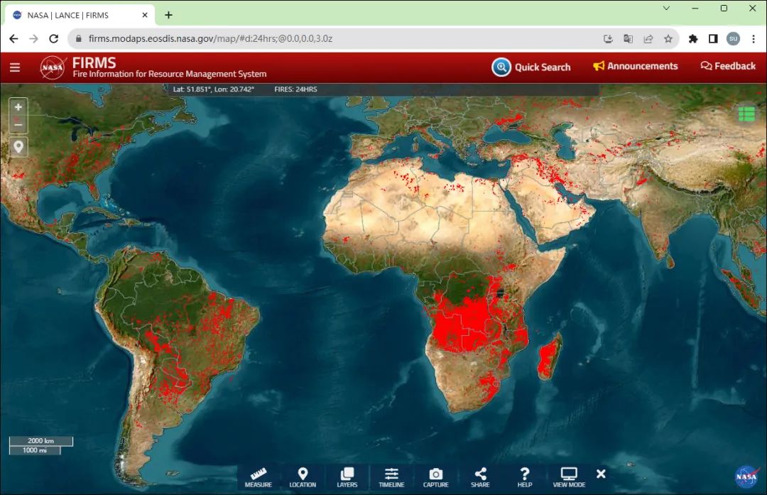
NASA FIRMS fire map
This system uses satellite data to track fire occurrences, providing real-time and historical fire data to assist in resource management, disaster response, and environmental monitoring.
Esri World Imagery
Esri World Imagery is a high-resolution satellite imagery service provided by Esri, the world's leading GIS technology provider.
https://www.arcgis.com/home/webmap/viewer.html?useExisting=1&layers=10df2279f9684e4a9f6a7f08febac2a9
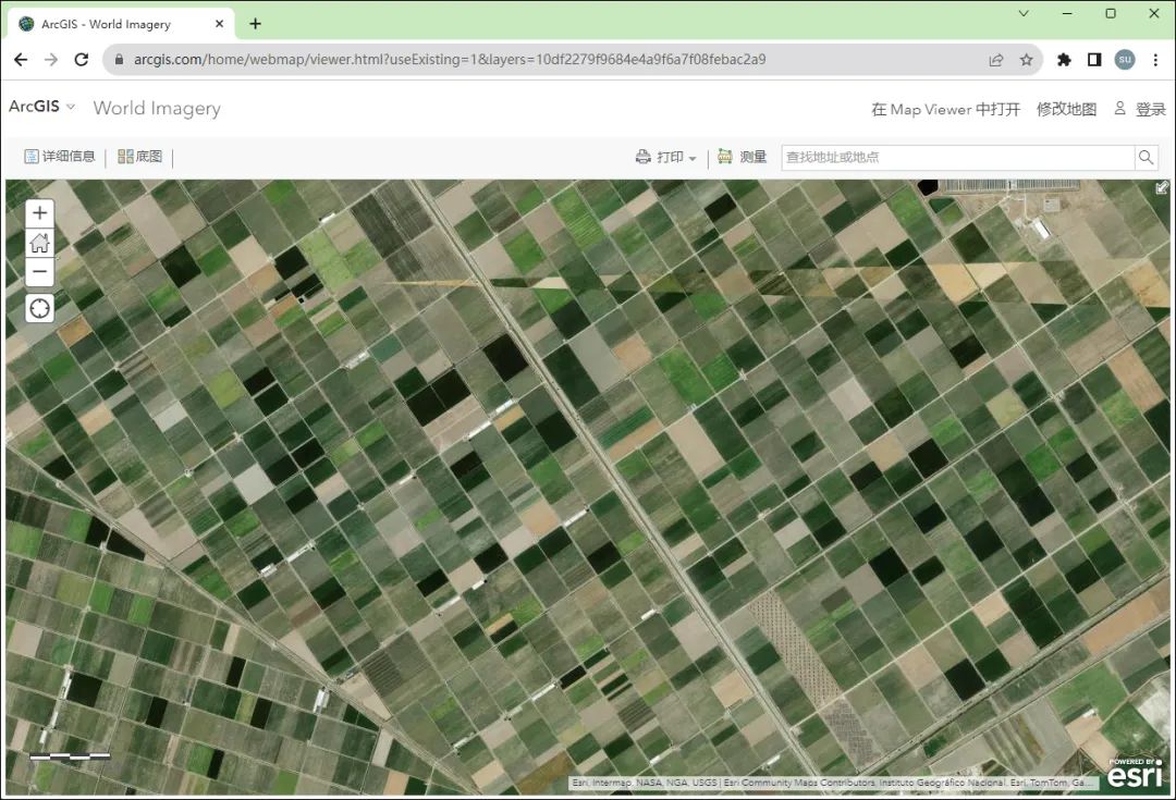
Esri World Imagery
This service provides detailed and up-to-date satellite imagery of the Earth's surface, suitable for various mapping and analysis purposes.
Users can access these images through Esri's ArcGIS Online platform or other GIS software integrating Esri services.
MapQuest
MapQuest is a company providing online maps and navigation services. Its platform and applications offer features such as route planning, traffic information, and location search.
https://www.mapquest.com
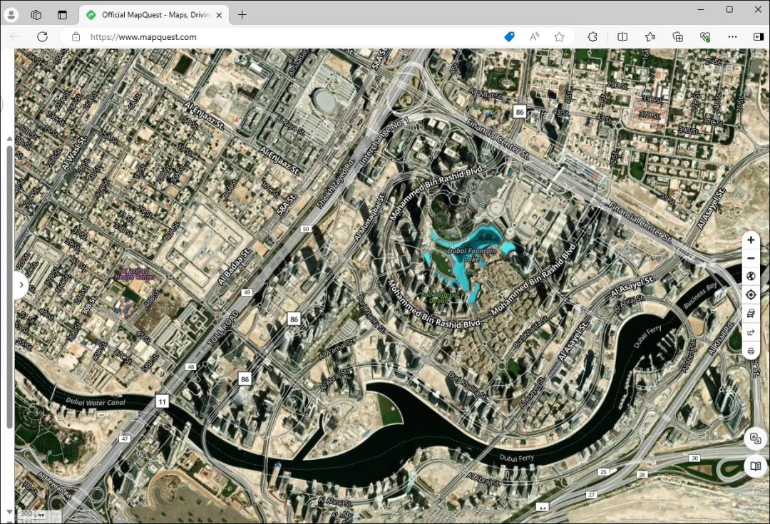
MapQuest map
MapQuest's satellite map service is one of its features. By using satellite imagery and map data, users can view high-definition satellite images from around the world.
Users can view satellite imagery of different areas by switching to satellite map view on MapQuest's website or mobile app.
This view typically provides more intuitive and realistic ground landscapes and object information, helping users better understand the environment around their destination.
Maxar NaturalVue
NaturalVue is Maxar's next-generation global image mosaic product, comprising over 60,000 satellite images.
https://www.arcgis.com/home/webscene/viewer.html?layers=75ea37662acb495aba5fa70cf256d90d
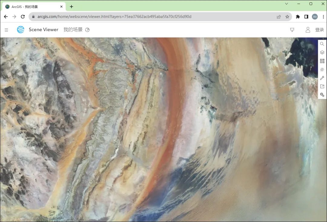
NaturalVue map
NaturalVue and other Maxar image mosaic products enable a wide range of geospatial and web-based mapping applications, including military logistics, GIS backgrounds, flight simulation, cartography, 3D visualization, and GPS tracking.
Google Maps
Google Maps is a free online map application provided by Google. Users can access its various functions for map browsing, route planning, traffic information queries, and more.
https://www.google.com/maps
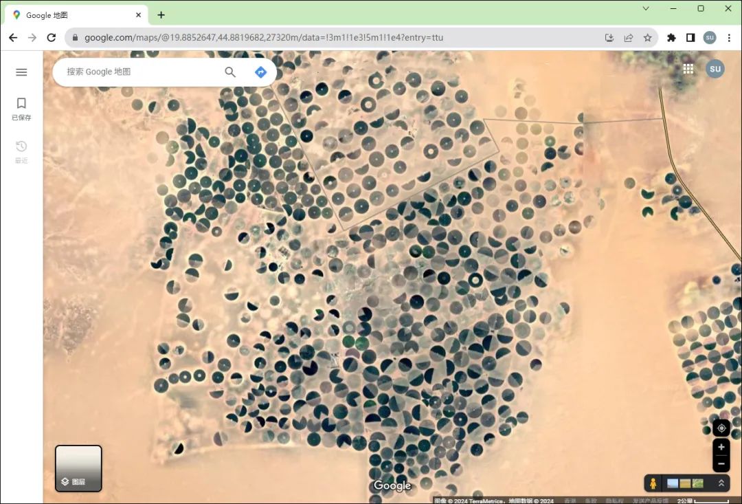
Google Maps
Street View, 3D perspectives, and regularly updated map data allow users to accurately understand the environment around their destination and quickly find the information they need.
However, it is not currently accessible normally in China and requires the use of tools to access and display images.
Google Earth Pro
Google Earth Pro is an enhanced version of Google Earth, offering more advanced features and tools for professional users.
https://earth.google.com
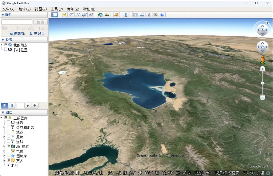
Google Earth Pro
Users can view high-resolution satellite images, historical imagery, measure distances and areas, and export map data.
It also supports creating professional map images and videos, as well as more complex geospatial analysis.
Whether used for urban planning, environmental monitoring, or geological research, Google Earth Pro is a powerful geographic information tool. Similarly, it requires the use of tools to access and display images in China.
Final Thoughts
This article has shared 20 satellite imagery viewing websites, making it convenient for you to compare and view satellite images of specific areas.
You can click the "Share" button now to share this article with your friends for free!
